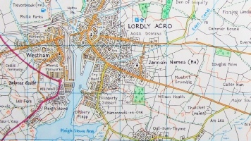
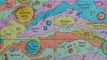
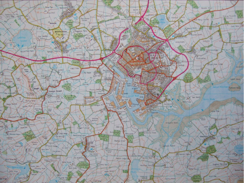
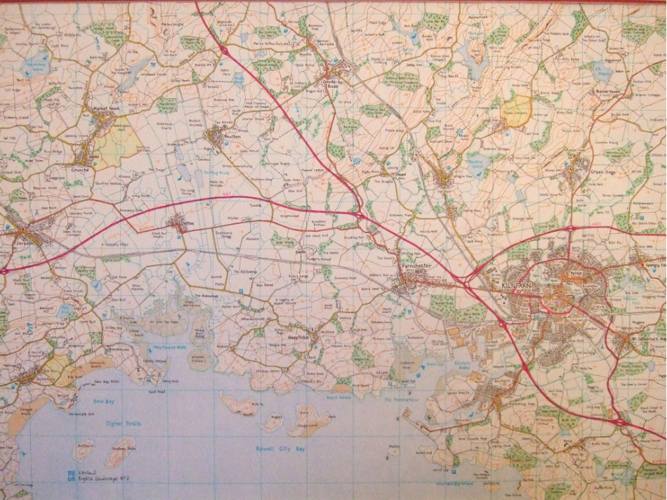
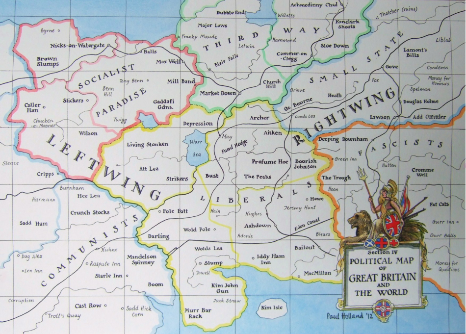
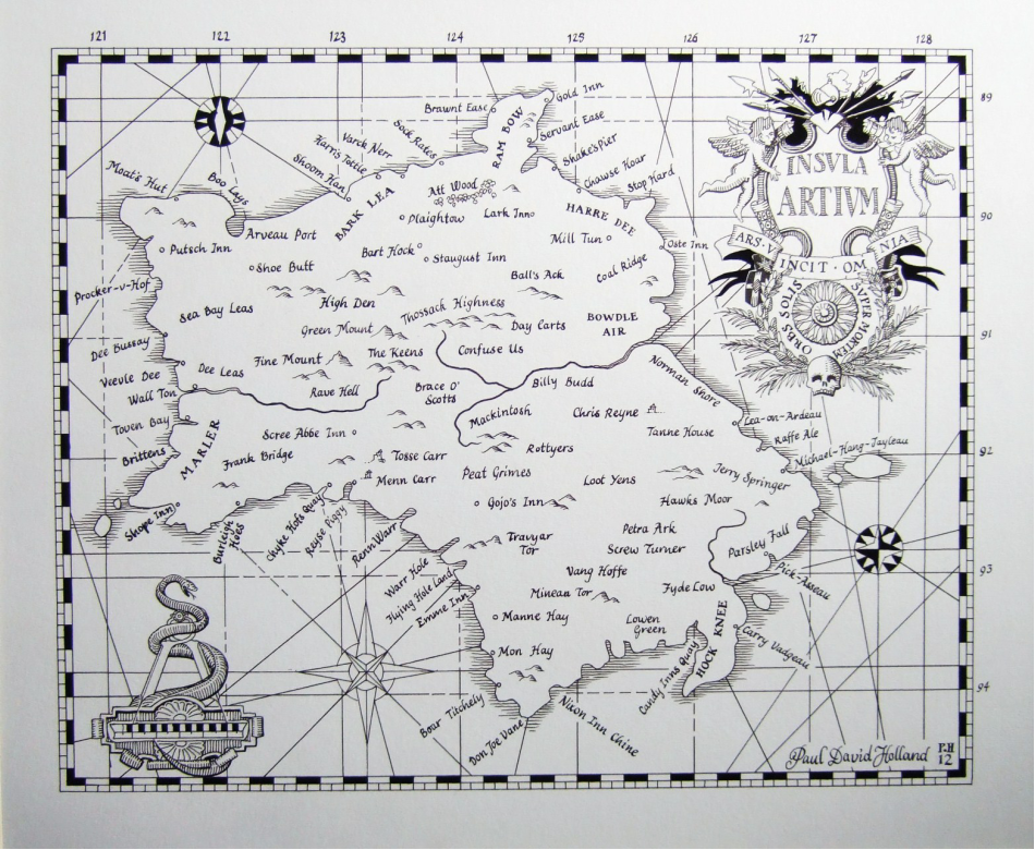
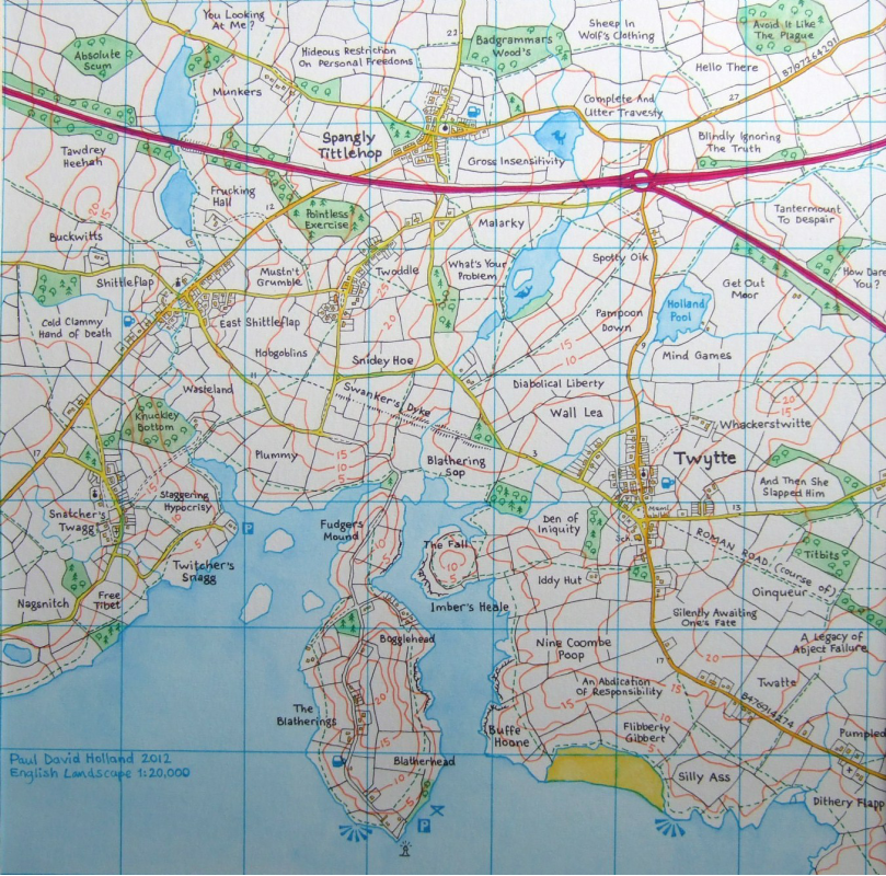
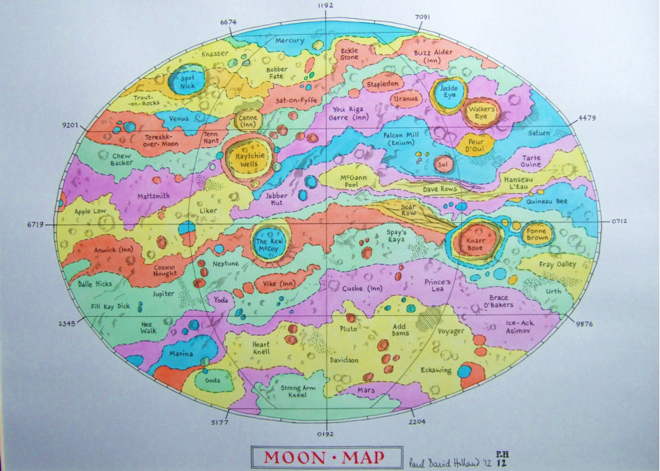
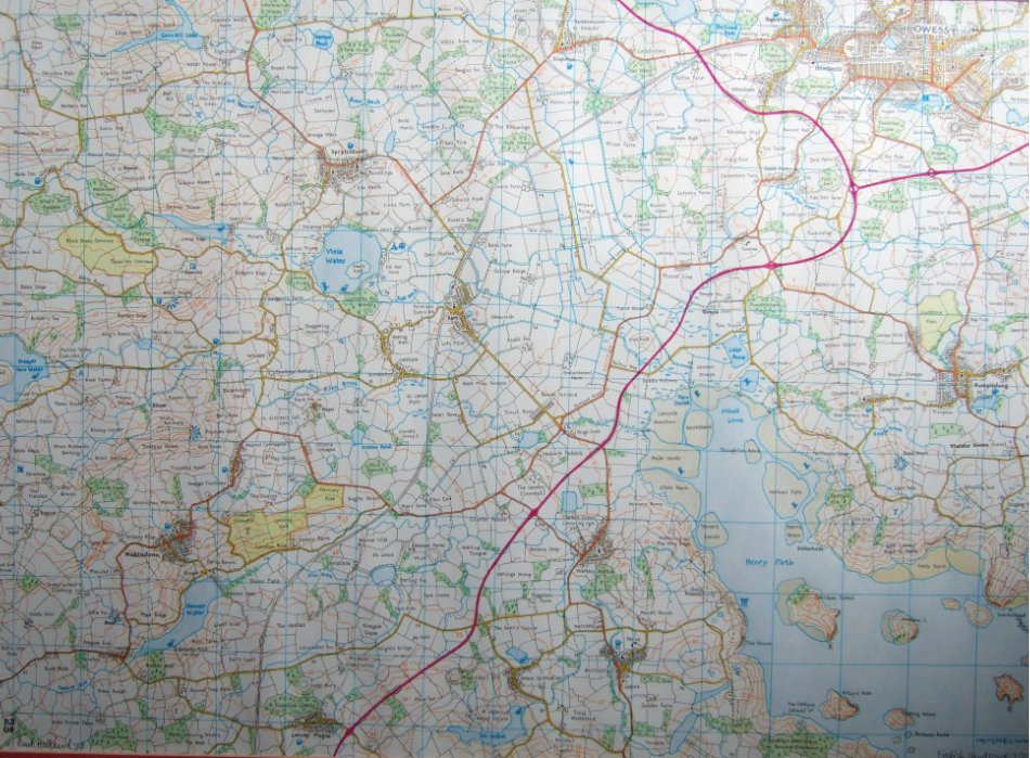
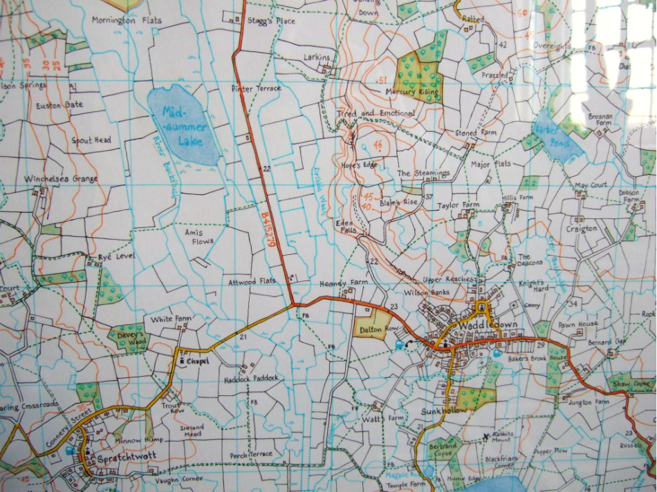
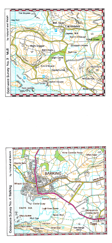
The following is a small selection of recent works which play on our fascination
with maps, and the way that maps draw us into their landscapes and the histories
hidden within them, even when we are unfamiliar with the places they portray.
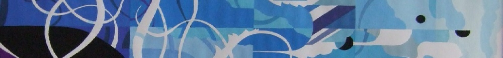
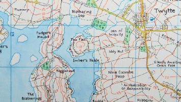
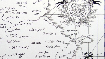
The viewer at first presumes these to be genuine maps, but on closer inspection,
the works are revealed to be complete fabrications, filled with themes and riddles,
jokes and provocations. Certain areas, for instance, are made up of names, which,
read aloud, follow the course of the Northern Line or the names of 007 actors, Beatles
albums or famous operas. Some maps are constructed around a certain place, others
feature political figures and ideas, others trace a line through space exploration
and sci-fi; yet others are filled with insults…
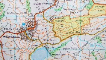
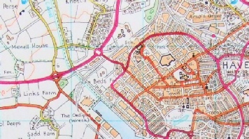
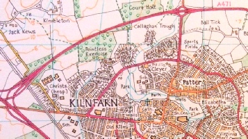
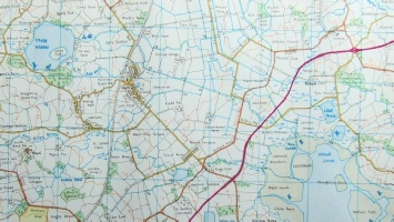
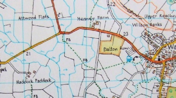
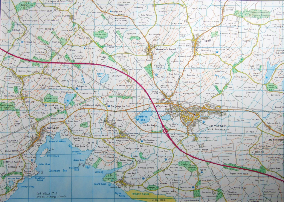
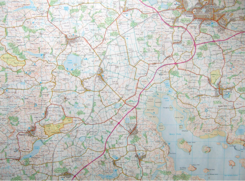
As well as further scattered interjections and quotations, in the shapes of the landscapes
one finds traces of Roman roads, mediaeval village lanes, obsolete trunk roads and
obscure B-roads. Railway sidings, pre-Beeching lines, former harbours and traces
of town walls are also there to be discovered, as the viewer begins to sense the
underlying layers of history which stretch across our own English landscapes.